Bring Your Data In
Surveys, drone maps, CAD models — start with what you already have
The Challenge
You already have data from other tools and professionals. Getting it into your site plan should not require a degree in geospatial science.
- Your surveyor emailed a CSV of control points
- Your drone pilot delivered a GeoTIFF and 3D tiles
- Your architect sent a STEP file
- You should not have to be a GIS expert to use any of this
- Manual data entry is slow and error-prone
The SiteCAD Way
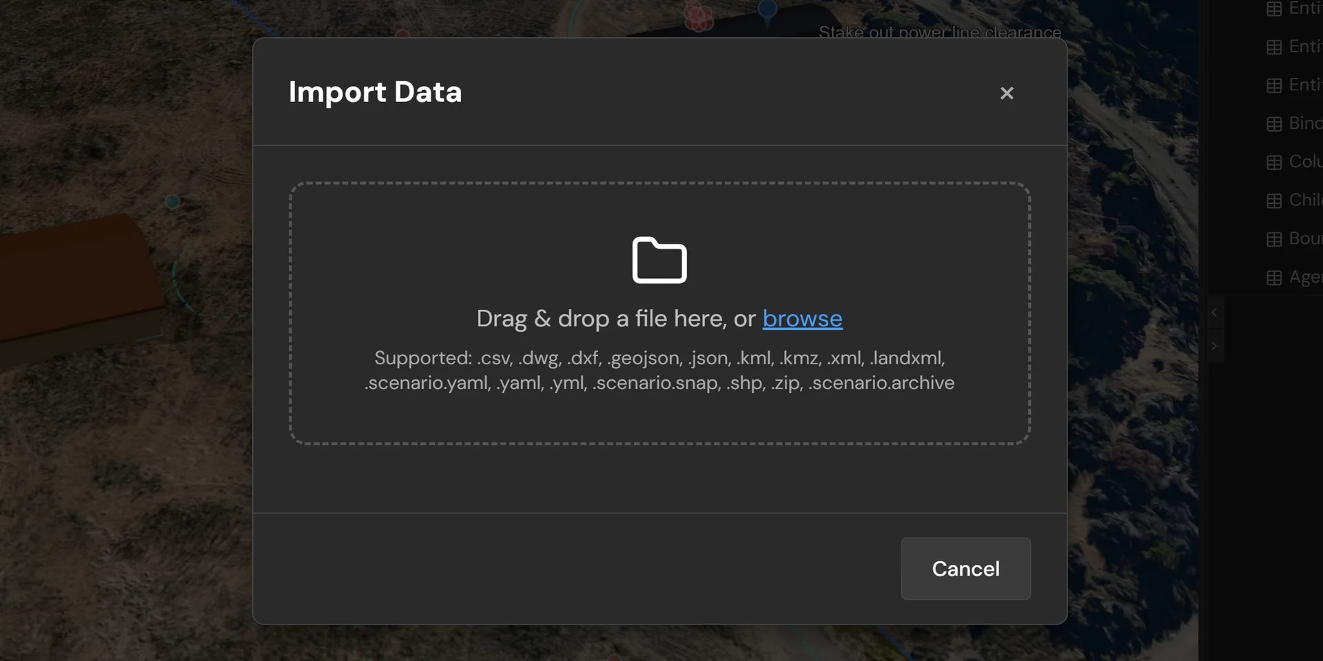
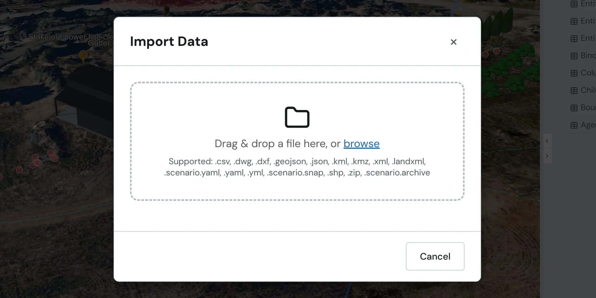
Drag and drop, or tell the AI: "Import this survey CSV as control points." SiteCAD handles the rest.
Automatic coordinate conversion
Geodetic to local, projections handled seamlessly. Your data lands in the right place.
Validation and preview before committing
See exactly what you will get before it lands in your scenario.
Full undo support
Every import is a single reversible action. One Ctrl+Z and it is gone.
AI-Assisted Import
Not sure about file formats or coordinate systems? Just describe what you have. The AI validates the file, shows a preview, and asks for confirmation. Non-technical users describe what they have; the AI figures out the rest.
"Import the survey data from this CSV"
Detects columns, maps coordinates, creates control points
"Load the drone orthomosaic as terrain"
Reads the GeoTIFF's coordinate system and bakes it onto the editing terrain layer
"Bring in the architect's STEP model"
Parses solid geometry, preserves parametric structure
"Add these property boundaries from the GeoJSON file"
Extracts polygons, converts projections, creates boundary entities
Note: AI-assisted features may produce inaccurate or incomplete results. Always verify imported data, coordinates, and entity placement independently before relying on them for decisions.
What You Can Import
| Source | Formats | Description |
|---|---|---|
| Survey Data | CSV, GeoJSON, LandXML | Creates control points, boundaries, and traces with proper georeferencing |
| Drone & Remote Sensing | GeoTIFF, 3D Tiles (Cesium Ion or local files) | Elevation models, orthophotos, and photogrammetry meshes from aerial surveys |
| CAD Models | STEP, DXF, OBJ | Parametric solids and assemblies, preserving editable geometry |
| GIS Data | GeoJSON, Shapefile, KML | Property boundaries, parcels, zoning overlays, and spatial features |
How It Works
Choose your file
Drag and drop, use the file picker, or just tell the AI what you have
Automatic detection
SiteCAD identifies the format, reads metadata, and validates the content
Preview
See the imported entities positioned on the map before committing anything
Confirm
Entities appear in your scenario, fully undo-able with a single Ctrl+Z
Ready to import?
Open the editor and bring in your existing data.