Solutions
SiteCAD adapts to your project type — from small homesteads to large agricultural operations.
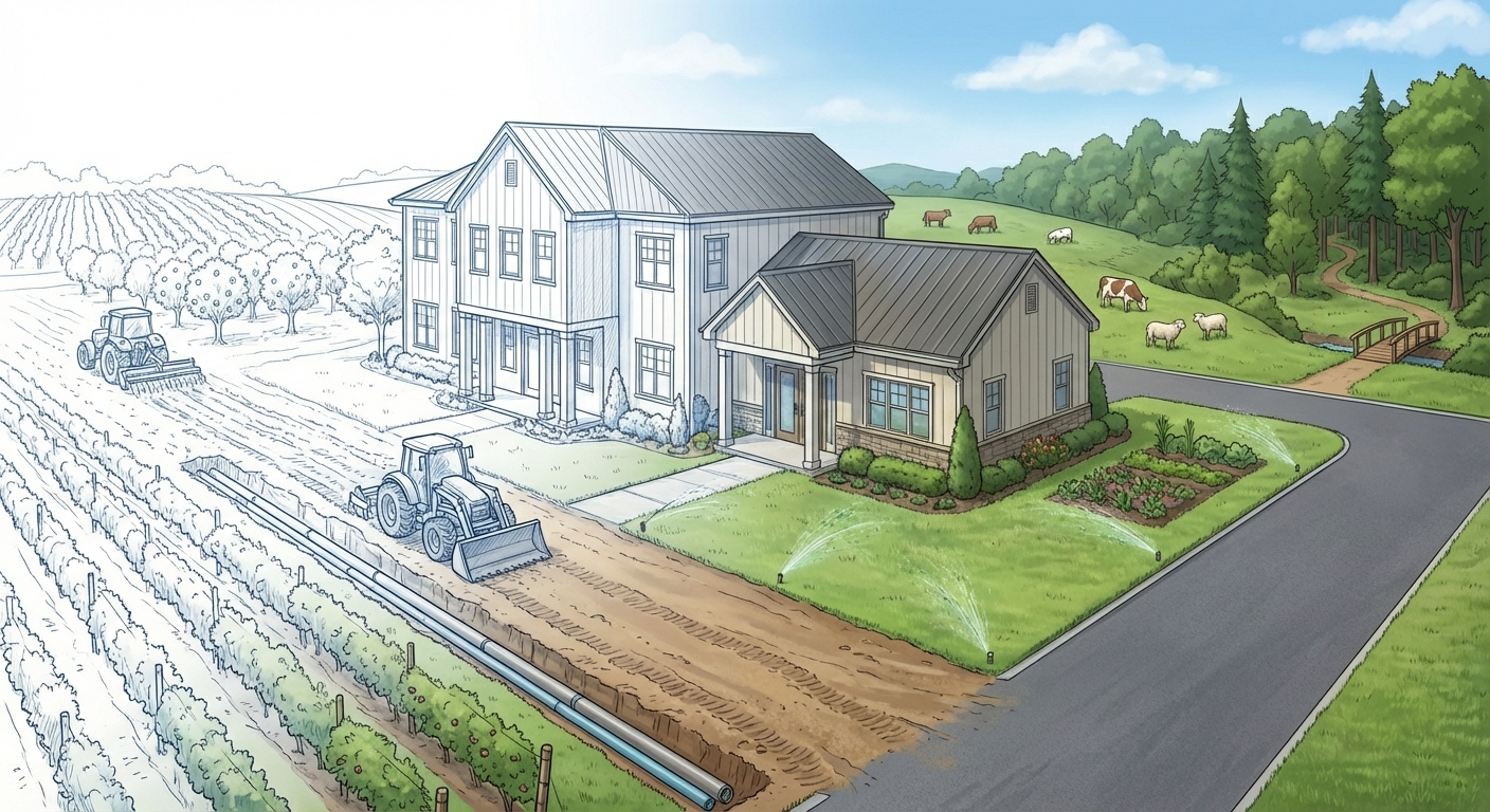
Homestead Planning
Design your dream property with gardens, structures, water systems, and more. Visualize how everything fits together before you build.
Learn more →Agricultural Operations
Plan crop rotations, irrigation layouts, and infrastructure. Compare approaches with scenario branching and terrain-aware design.
Learn more →Land Development
Plan subdivisions, utilities, and infrastructure. Design with real terrain data and export to surveyor-ready formats.
Learn more →Conservation & Parks
Design trails, manage habitats, and plan restoration projects. Track changes over time with scenario-based comparisons.
Learn more →Real Estate Marketing
Create stunning 3D visualizations of properties. Show potential buyers what their land could become.
Learn more →Landscape Design
Design outdoor spaces with terrain grading, plantings, hardscape, and irrigation. Export professional CAD drawings for permits.
Learn more →HOA & Property Management
Help HOA boards visualize improvements and changes before voting. Create scope documents for contractor bids and track community assets.
Learn more →Don't see your use case?
SiteCAD is flexible enough for any land planning project. Jump into the editor and see what you can create.